
Over-all goal
Actions for protection of Amazon forests are improved.
Project for improving control of illegal deforestation through advanced SAR and AI technologies in the Brazilian Amazon
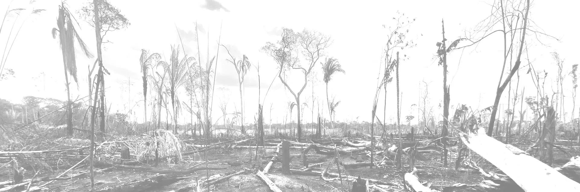
Explore UsDeforestation in Legal Amazon amounted to over 13 thousand square kilometers in 2020 (Aug. 2020 - Jul. 2021, INPE 2021). According to the FAO, the averaged annual deforestation area between 2010 and 2020 is the highest in the world (FRA 2020).
Brazilian government has functions to monitor forest changes by satellite and control illegal deforestation. However, it is difficult to observe the forest situations using optical satellites due to heavy clouds in the area.
When deforestation is observed by satellite and enforcement officers arrive at the site, the forest has already been lost. Therefore, preventive measures are required to avoid deforestation.
With only a limited number of enforcement officers in the vast Legal Amazon, there is a need to utilize a variety of information to improve the efficiency of enforcement activities.
Along with over 100 countries, the Brazilian government has also pledged to end or reduce deforestation by 2030 on The Glasgow Leaders’ Declaration at COP26. To achieve the pledge, our project will contribute to the improvement of controlling illegal deforestations through the use of advanced technology.
See project updateProject for improving control of illegal deforestation through advanced SAR and AI technologies in the Brazilian Amazon
Brazilian Institute of Environment and Renewable Natural Resources (IBAMA)
Jul.21 2021 - Jul.20 2026 (5 years)
Japan Aerospace Exploration Agency, National Institute of Advanced Industrial Science and Technology, and Japan International Cooperation Agency
The Brazilian Legal Amazon (states of Acre, Amapá, Amazonas, Mato Grosso, Pará, Rondônia, Roraima, Tocantins, and part of Maranhão)
Actions for protection of Amazon forests are improved.
Capacity for controlling illegal deforestation by detecting and forecasting deforestation in the Brazilian Legal Amazon area is strengthened.
Recommendations on countermeasures and controls against illegal deforestation are shared among relevant organizations.
Criteria for identifying priority areas to control illegal deforestation are improved using remote sensing and spatial database.
The improved deforestation forecasting system is operated with utilization of AI.
Efficiency of deforestation control and patrol is improved through strengthening information sharing system within IBAMA and also among IBAMA and relevant organizations about data on deforestation.
The project is progressing in line with the Project Design Matrix (PDM) of Record of Discussions (RD) signed between JICA and IBAMA. Data will be updated based on semi-annual project progress monitoring.
A field survey was conducted from October 7 to 11 in Porto Velho, Rondonia, and
Read moreThe project is leveraging AI technologies such as machine learning and deep learning to develop
Read moreOn June 5th and 6th, a workshop on Synthetic-aperture radar (SAR) data was held for
Read moreWe conducted our third field survey in Altamira, State of Para,
Read moreField surveys were conducted in February to verify the results of the deforestation
Read moreIn addition to the project activities, assistance was provided for monitoring environmental
Read moreAny questions about the project please contact through this form.