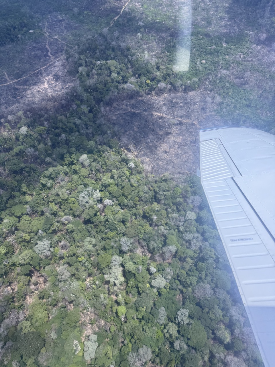
Field surveys were conducted in February to verify the results of the deforestation
detection system being developed and improved by the JAXA team. The verification had been carried out using satellite images from the dry season and field surveys. The accuracy verification during the rainy season is challenging due to cloud cover in satellite images and difficult road conditions for on-site surveys. However, the accuracy verification of the radar satellite-based forest reduction detection system during the rainy season is important. This time, a wide-area survey was conducted using a small aircraft, unaffected by clouds. Two GoPro cameras were installed on the aircraft to photograph forest change points detected by the forest reduction detection system. The collected data was brought back to the project office, assembled (mosaicked), and shared with the JAXA team.