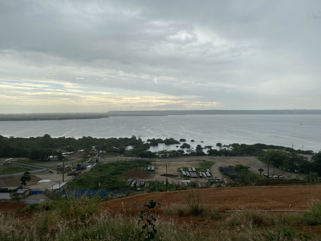
In addition to the project activities, assistance was provided for monitoring environmental
disasters in Maceio, Alagoas. This involved taking aerial photographs of areas experiencing subsidence due to the collapse of a closed salt mine. Due to the extensive damage and the limitations of multi-rotor drones, fixed-wing drones owned by the project were used to collect data. Despite strong winds along the coast and poor weather conditions during the rainy season, the target area was divided into four sections, and data was collected through eight flights in both vertical and horizontal directions. The processing of the vast amount of data is time-consuming, but it will result in very high-resolution aerial photographs and an accompanying Digital Elevation Model (DEM).
