A second field survey was conducted in Altamira, Para,
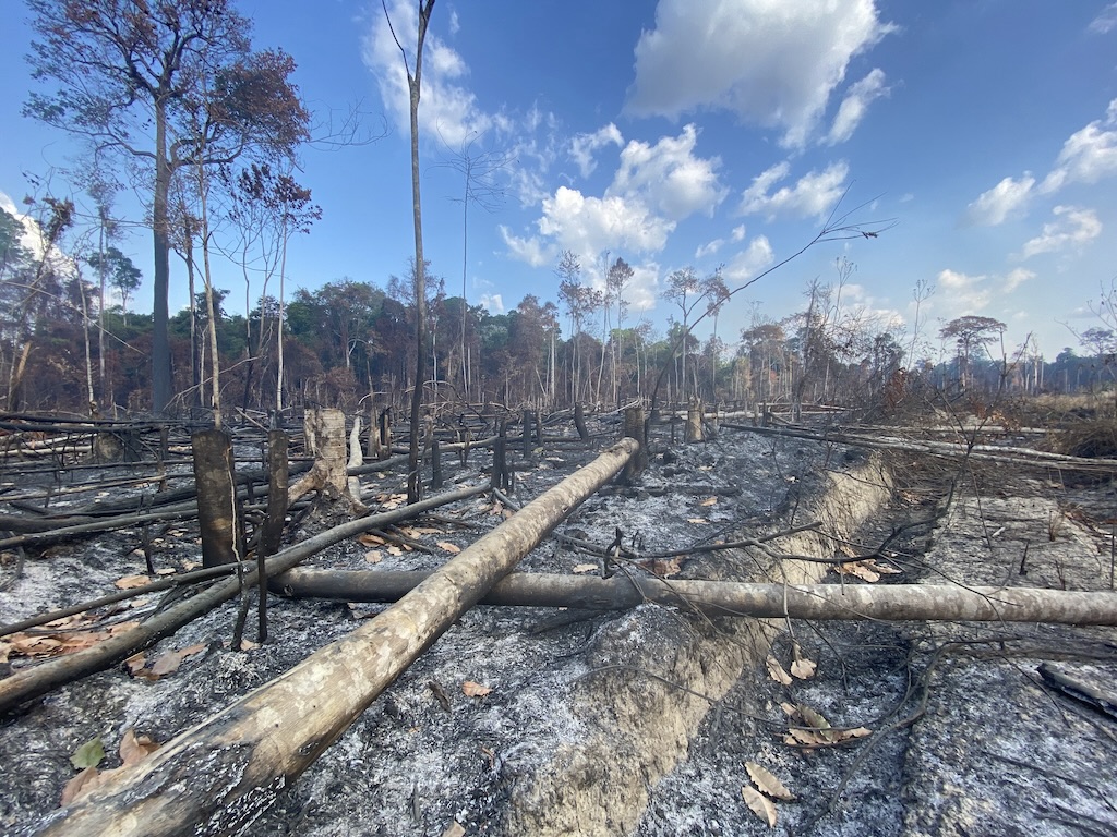
A second field survey was conducted in Altamira, Para, where a field survey was conducted in February 2022. The previous survey was conducted during the rainy season, when road conditions were very poor and many areas were difficult to survey. This time, however, it was dry season, and although there was a lot of dirt and dust that was blown up by cars, there were no impassable roads, and the survey went smoothly because it was the second time. In order to survey a wide area of forest, we used a fixed-wing drone for the survey. Although we had previously conducted flight training in Brasilia, this was our first time using the drone in the field, and although we had some difficulties, we were able to smoothly prepare and fly the drone as we went through several times of flights. The information on deforestation detection results and deforestation forecast results was shared in advance by the teams of experts in charge, from which field verification sites were selected, field inspections were conducted, and drone photography was taken. The survey results were organized and shared with each team, and will be used to improve the accuracy of the system.