A field survey was conducted in Rondonia state from September 19.
The establishment of an effective and efficient forest monitoring system is essential for forest conservation in the vast Amazon. To this end, the project aims to improve the accuracy of deforestation site detection using SAR satellite data and to identify areas at high risk of deforestation using AI. From September 18 to 22, a team of JICA experts (Chief Advisor, JAXA and AIST) visited logging sites in the state of Rondonia, located in the upper Amazon, to verify SAR satellite data and collect data for AI.
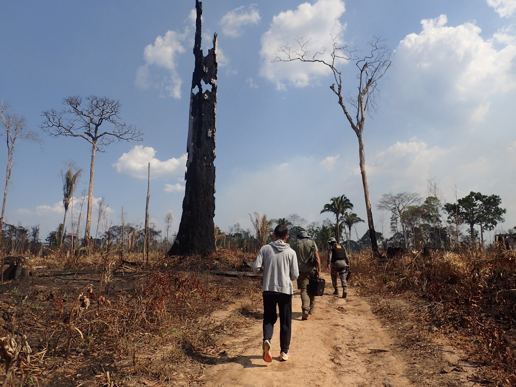
In the field, the team checked points where differences were found between optical satellite data and SAR data using the naked eye and a drone to verify the causes of the differences, and collected data on location conditions (distance from major roads and villages, etc.), social and economic conditions, and other parameters to be input to the AI. The data was collected on location conditions (distance from major roads and villages, etc.), social and economic conditions, and other parameters to be input into AI. During the survey, we encountered areas where fires were actually being set and traces of timber that had been carried away after logging, indicating the seriousness of deforestation.
For security reasons, police officers with weapons are always present during site visits.